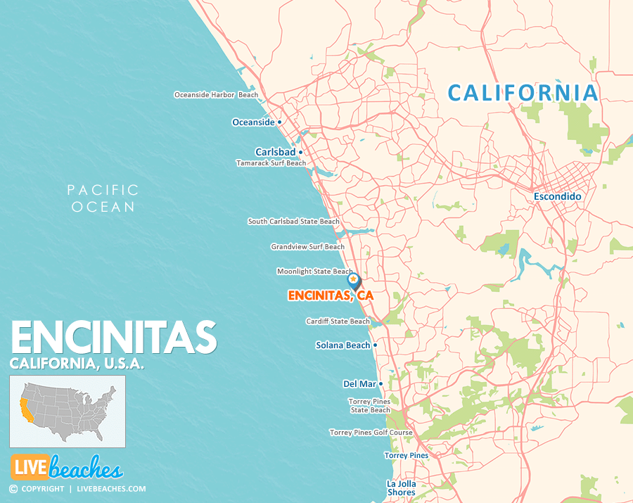
Encinitas, CA Map
This map of Encinitas, California, is a helpful guide for first-time visitors to get to know the California coast. Use this map as a resource to discover nearby beaches, coastal towns, and popular places to visit.
Visit Encinitas, California
Easily find beachfront hotels in Encinitas using our interactive map. Filter by budget, location, and crew size to plan your perfect California getaway.
Encinitas, California, is just 25 miles north of downtown San Diego along the scenic Coast Highway 101. Known for its legendary surf spots, delightful dining options, and stunning coastal bluffs, this charming community offers the perfect blend of outdoor adventure, wellness, unique boutique shopping, and rich local history. Whether you’re looking to catch some waves or unwind with a refreshing stroll along the shore, Encinitas promises a relaxing retreat.
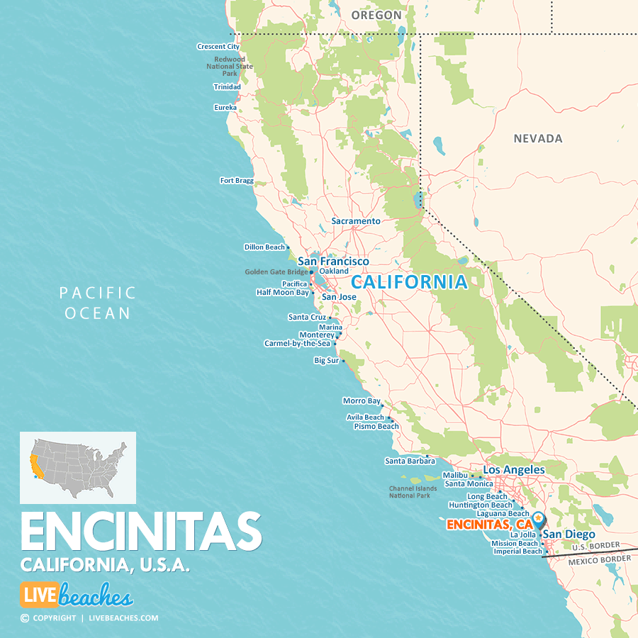

Map of California Beaches
Maps of popular beaches & coastal cities in California.