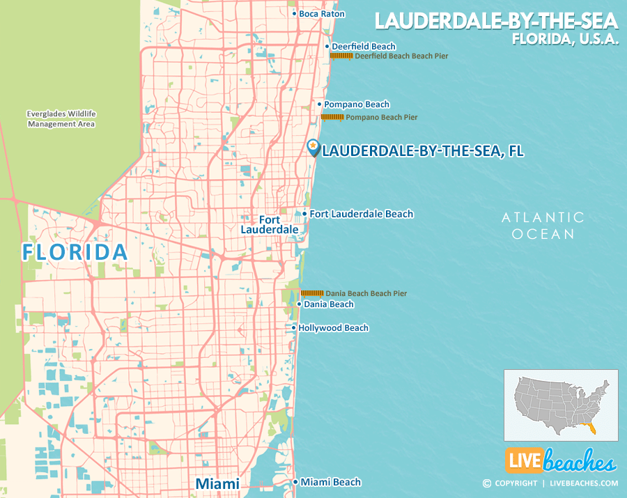
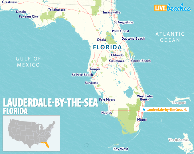
Lauderdale-by-the-Sea, FL Map
Map of Lauderdale-by-the-Sea and popular nearby beaches in Florida. Use these regional maps as a guide to learn the area and points of interest along the Florida Coast.
Visit Lauderdale-by-the-Sea, Florida
Easily find beachfront hotels in Lauderdale-by-the-Sea, Florida, using our interactive map. Filter by budget, location, and crew size to plan your perfect Florida getaway.
How Big is Lauderdale-by-the-Sea?
Lauderdale-by-the-Sea, Florida is a compact coastal town spanning approximately 1 square mile.
Beach Length: 2.5 miles | Beachfront Width: Ranges from 50-150 feet

What is the sand like?
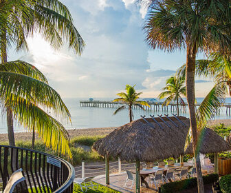
The sand at Lauderdale-by-the-Sea is exceptionally smooth. The upper dry beach is famously fluffy, making it highly comfortable for sunbathers to sit directly on a towel or walk barefoot without encountering rocks.
Maps of Popular Beaches in Florida
Explore additional maps of Florida’s top beaches to help you plan your perfect getaway.