Shelter Island in San Diego, CA Map
This map of Shelter Island in San Diego is a helpful guide for first-time visitors to get to know the California coast. Use this map to discover nearby beaches, coastal towns, and popular places to visit.
Shelter Island is a serene, one-mile man-made peninsula located in San Diego’s Point Loma neighborhood. Its charming blend of Polynesian and tiki-inspired vibes, along with deep-water marinas and breathtaking panoramic views of the city skyline.
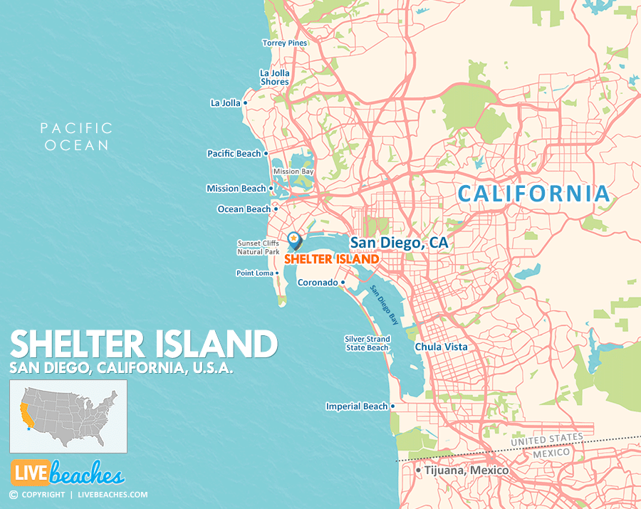
Click Map To Enlarge
Visit Shelter Island
Easily find beachfront hotels in Shelter Island using our interactive map. Filter by budget, location, and crew size to plan your perfect California getaway.
Once just a sandbar that appeared at low tide, it has been transformed by the U.S. Navy into a hidden gem, conveniently situated just minutes from downtown and the San Diego International Airport. Whether you’re looking for a relaxed day on the water or scenic strolls, Shelter Island has it all.
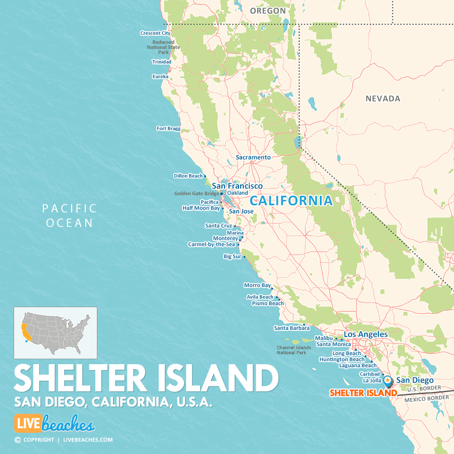
Click Map To Enlarge
![]()
Map of California Beaches
Maps of popular beaches & coastal cities in California.


