Boca Raton, FL Map
Map of Boca Raton and popular nearby beaches in Florida. Use these regional maps as a guide to learn the area and points of interest along the Florida Coast.
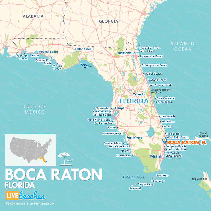
Click Map To Enlarge
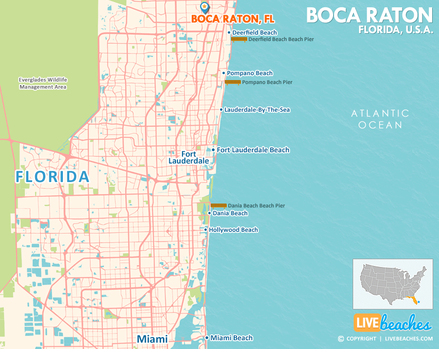
Click Map To Enlarge
Visit Boca Raton, Florida
Easily find beachfront hotels in Boca Raton using our interactive map. Filter by budget, location, and crew size to plan your perfect Florida getaway.
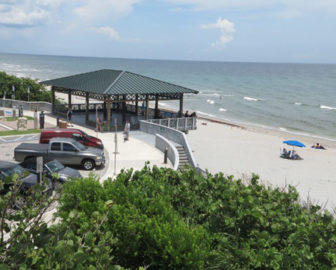
How Big is Boca Raton?
Boca Raton is a coastal city in Florida spanning approximately 13 square miles.
Beach Length: 5 miles | Beachfront Width: Ranges from 75-150 feet
![]()
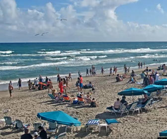
What is the sand like?
The sand at Boca Raton, Florida, is incredibly fine and soft, offering a delightful texture as you stroll along the dry upper beach. Closer to the water, the quartz crystals come together to create a sturdy, velvety surface that’s perfect for barefoot runs, leisurely walks, or even a serene yoga session.
Maps of Popular Beaches in Florida
Explore additional maps of Florida’s top beaches to help you plan your perfect getaway.