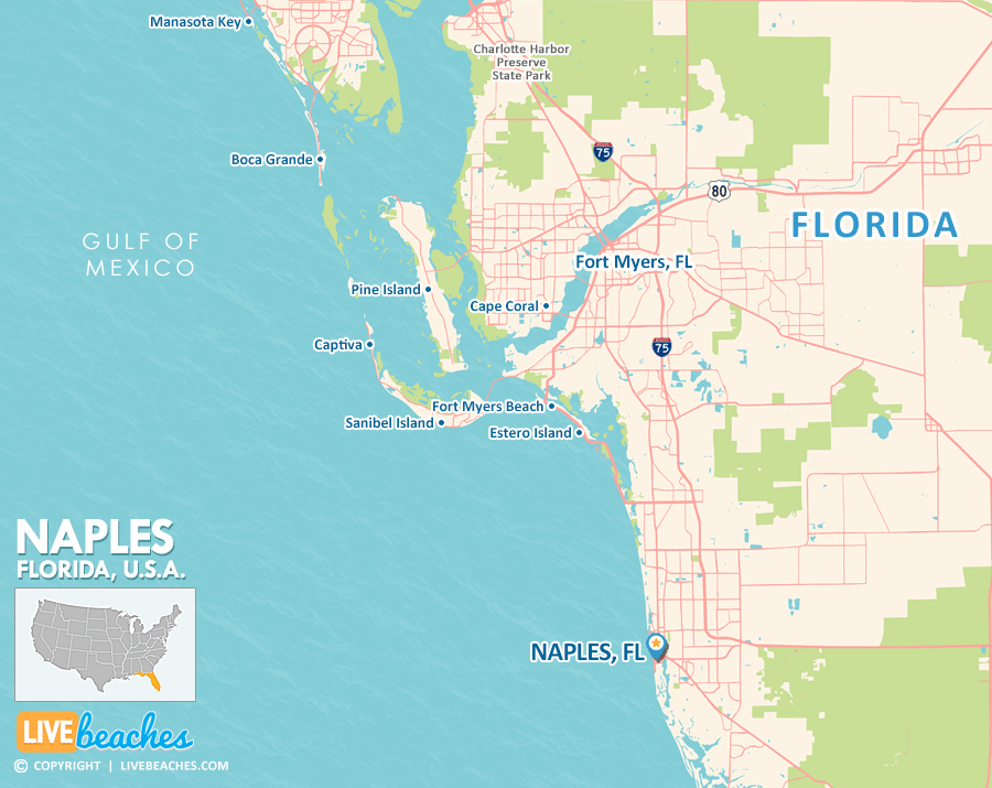
Naples, FL Map
These maps of Naples, FL, and nearby beaches are designed to help you navigate Florida’s coastline. Use these detailed maps to discover beachfront resorts and points of interest for your next getaway to the Sunshine State.
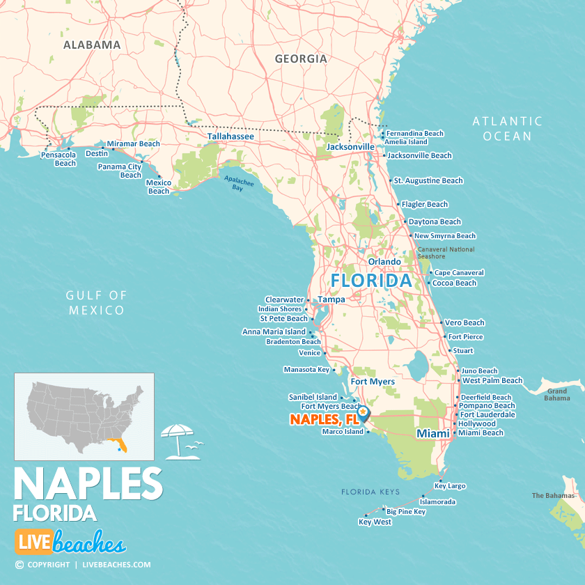
Click Map To Enlarge
Click Map To Enlarge
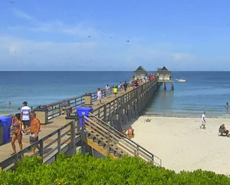
Visit Naples, Florida
Easily find beachfront hotels in Naples using our interactive map. Filter by budget, location, and crew size to plan your perfect Florida getaway.
How Big is Naples?
Naples, Florida, spans approximately 16 square miles.
Beach Length: The coastline spans nearly 9 miles | Beachfront Width: 100 to 200 feet
![]()
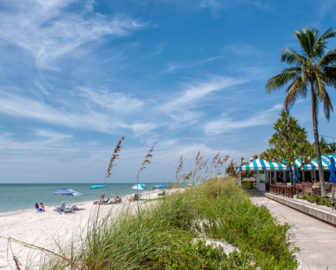
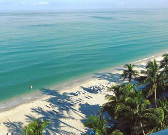
What is the sand like?
Naples, Florida, features some of the finest beaches in the world, renowned for their soft, sugar-white quartz sand and serene, turquoise waters of the Gulf of Mexico. The sand is compact yet delightfully soft, remaining cool beneath your feet even on the hottest days under the Florida sun.
Maps of Popular Beaches in Florida
Explore additional maps of Florida’s top beaches to help you plan your perfect getaway.