St Augustine Beach, FL Map
Map of St Augustine Beach and popular nearby beaches in Florida. Use these regional maps as a guide to learn the area and points of interest along the Florida Coast.
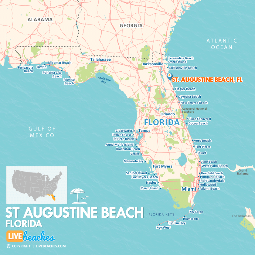
Click Map To Enlarge
How Big is St Augustine Beach?
St Augustine Beach is a coastal community in Florida spanning approximately 1.5 square miles.
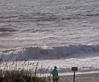
Beach Length: 4 miles | Beachfront Width: Ranges from 100-150 feet
![]()
What is the sand like?
The sand at St. Augustine Beach, FL, has a smooth, hard-packed texture, making it perfect for walking, jogging, or riding beach bikes. In contrast to the fluffy, pure-quartz sand found in the Florida Panhandle, such as Destin or Panama City Beach, the sand here is more tightly compacted.
Maps of Popular Beaches in Florida
Explore additional maps of Florida’s top beaches to help you plan your perfect getaway.