Wilbur-By-The-Sea, FL Map
These maps of Wilbur-By-The-Sea, FL, and nearby beaches are designed to help you navigate Florida’s coastline. Use these detailed maps to discover beachfront resorts and points of interest for your next getaway to the Sunshine State.
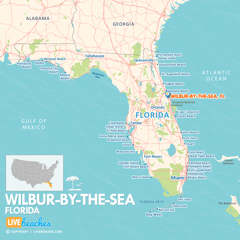
Click Map To Enlarge
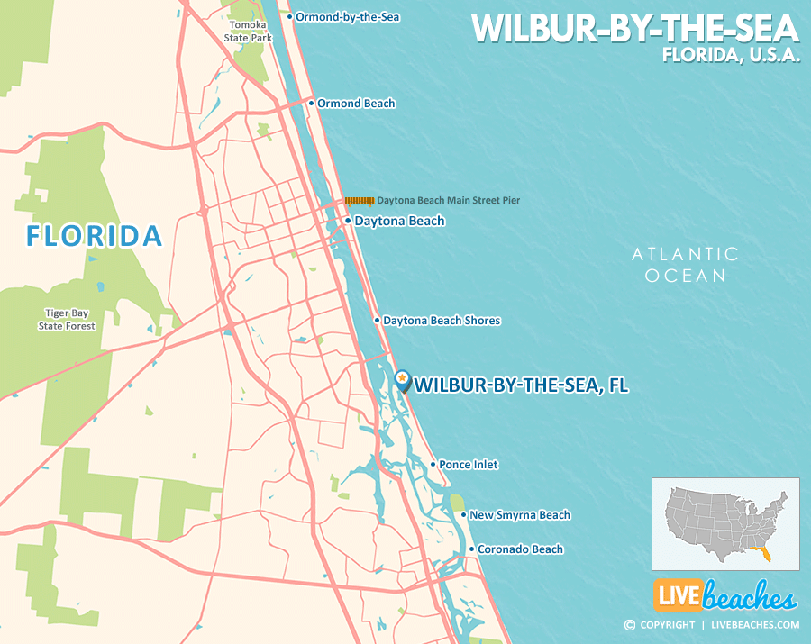
Click Map To Enlarge
Visit Wilbur-By-The-Sea, Florida
Easily find beachfront hotels in Wilbur-By-The-Sea using our interactive map. Filter by budget, location, and crew size to plan your perfect Florida getaway.
How Big is Wilbur-By-The-Sea?
Wilbur-By-The-Sea is a coastal community in Florida spanning approximately 1 square mile.
Beach Length: 1.5 miles | Beachfront Width: 100-150 feet.
![]()
What is the sand like?
The sand in Wilbur-by-the-Sea, Florida, is composed of fine quartz crystals and silt that pack down into an incredibly flat, hard surface. It is solid enough that you can easily jog, push a stroller, or do beach yoga on it without sinking.
Maps of Popular Beaches in Florida
Explore additional maps of Florida’s top beaches to help you plan your perfect getaway.


