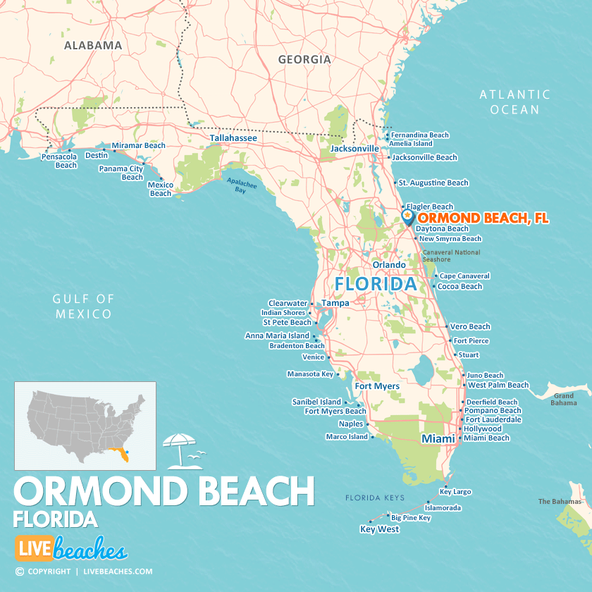
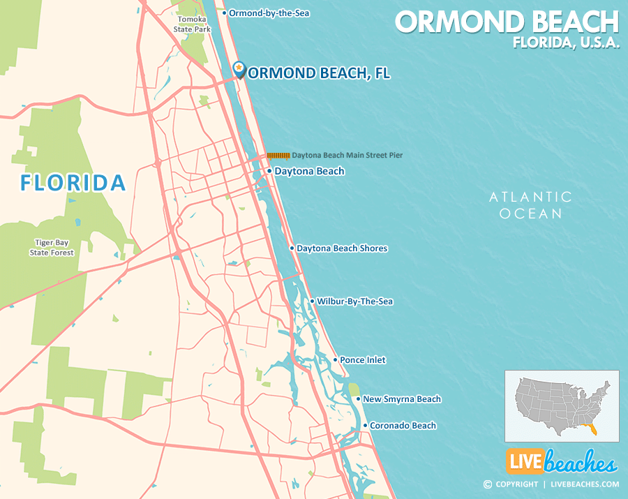
Ormond Beach, FL Map
These maps of Ormond Beach, FL, and nearby beaches are designed to help you navigate Florida’s coastline. Use these detailed maps to discover beachfront resorts and points of interest for your next getaway to the Sunshine State.
Click Map To Enlarge
Click Map To Enlarge
Visit Ormond Beach, Florida
Easily find beachfront hotels in Ormond Beach using our interactive map. Filter by budget, location, and crew size to plan your perfect Florida getaway.
How Big is Ormond Beach?
Ormond Beach is a coastal city in Florida spanning approximately 39 square miles.
Beach Length: 4 miles | Beachfront Width: can reach up to 500 feet.
![]()
What is the sand like?
The sand at Ormond Beach in Florida has a unique character that shifts as you walk along the shore. Near the water, it’s typically hard-packed and somewhat coarse underfoot. However, as you venture farther up the beach toward the drier areas and dunes, the texture changes to a softer, looser feel, often sprinkled with larger bits of crushed shells.
Maps of Popular Beaches in Florida
Explore additional maps of Florida’s top beaches to help you plan your perfect getaway.


