Key Largo, FL Map
These maps of Key Largo, FL, and nearby beaches are designed to help you navigate Florida’s coastline. Use these detailed maps to discover beachfront resorts and points of interest for your next getaway to the Florida Keys.
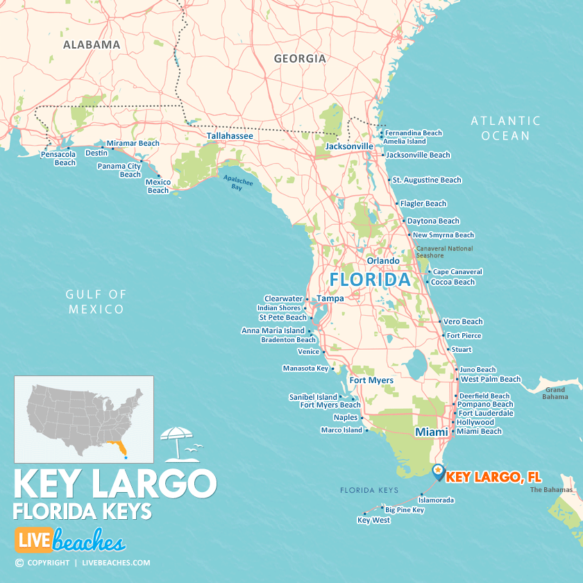
Click Map To Enlarge
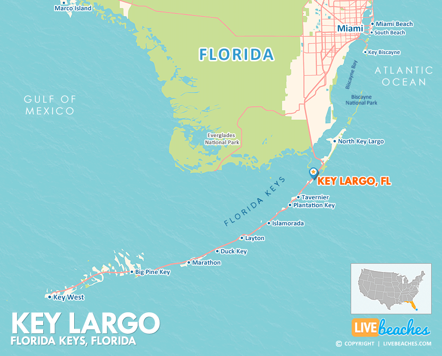
Click Map To Enlarge
Visit Key Largo, Florida
Easily find beachfront hotels in Key Largo using our interactive map. Filter by budget, location, and crew size to plan your perfect Florida getaway.
How Big is Key Largo?
Key Largo, Florida, is an island community in the Florida Keys spanning approximately 15 square miles.
Beach Length: N/A | Beachfront Width: Narrow, 25-50 feet
![]()
What is the sand like?
The beaches in Key Largo may be on the smaller side and often feature man-made shorelines. The sand here can be a bit coarse, mixing with tiny fragments of broken coral and seashells, which makes going barefoot somewhat uncomfortable. However, what truly sets Key Largo apart is its stunningly clear water, amazing scuba diving opportunities, and beautiful mangrove coastlines. While the grit of the sand may not be ideal for lounging, the vibrant marine life and scenic views make it all worth it.
Maps of Popular Beaches in Florida
Explore additional maps of Florida’s top beaches to help you plan your perfect getaway.


