Jensen Beach, FL Map
These maps of Jensen Beach, FL, and nearby beaches are designed to help you navigate Florida’s coastline. Use these detailed maps to discover beachfront resorts and points of interest for your next getaway to the Sunshine State.
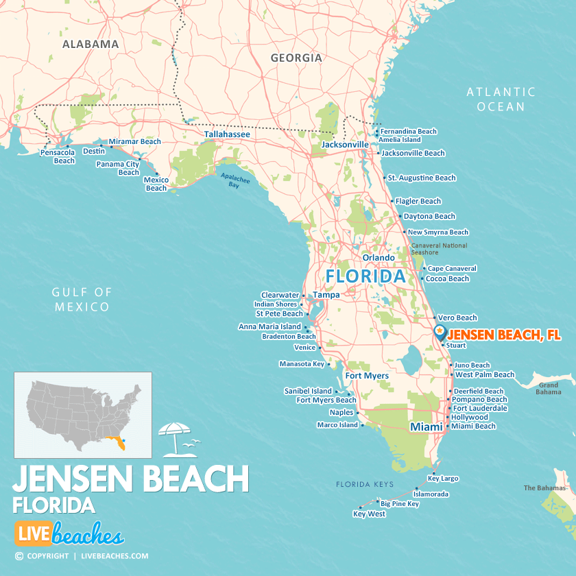
Click Map To Enlarge
Visit Jensen Beach, Florida
Easily find beachfront hotels in Jensen Beach using our interactive map. Filter by budget, location, and crew size to plan your perfect Florida getaway.
How Big is Jensen Beach?
Jensen Beach is a coastal city in Florida spanning approximately 7 square miles.
Beach Length: 8 miles | Beachfront Width: Ranges from 50-125 feet
![]()
What is the sand like?
The sand at Jensen Beach in Florida is distinctive, with a coarse, granular texture. Unlike the beaches found in central and northern Florida, Jensen Beach features a greater amount of both whole and broken seashells. Therefore, it’s advisable to wear water shoes if you plan on taking long strolls along the shoreline.
Maps of Popular Beaches in Florida
Explore additional maps of Florida’s top beaches to help you plan your perfect getaway.


