Hutchinson Island, FL Map
These maps of Hutchinson Island, FL, and nearby beaches are designed to help you navigate Florida’s coastline. Use these detailed maps to discover beachfront resorts and points of interest for your next getaway to the Sunshine State.
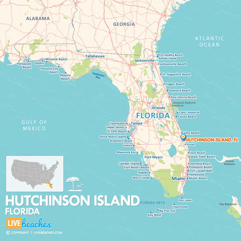
Click Map To Enlarge
Visit Hutchinson Island, Florida
Easily find beachfront hotels in Hutchinson Island using our interactive map. Filter by budget, location, and crew size to plan your perfect Florida getaway.
How Big is Hutchinson Island?
Hutchinson Island is a coastal destination in Florida spanning approximately 23 square miles.
Beach Length: 23 miles | Beachfront Width: Ranges from 50-150 feet
![]()
What is the sand like?
Anglers love this sand at Hutchinson Island, FL, because it easily holds heavy sand spikes. The churning waves roll over the coarse sand, kicking up sand fleas (mole crabs) and coquina clams, which naturally attract prize game fish like pompano, snook, and whiting right into the surf zone.
Maps of Popular Beaches in Florida
Explore additional maps of Florida’s top beaches to help you plan your perfect getaway.


