Big Pine Key, FL Map
These maps of Big Pine Key, FL, and nearby beaches are designed to help you navigate Florida’s coastline. Use these detailed maps to discover beachfront resorts and points of interest for your next getaway to the Florida Keys.
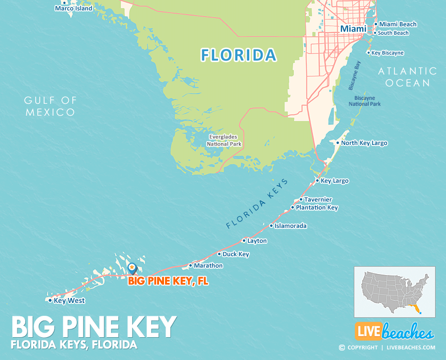
Click Map To Enlarge
Visit Big Pine Key, Florida
Easily find beachfront hotels in Big Pine Key, Florida, using our interactive map. Filter by budget, location, and crew size to plan your perfect Florida getaway.
Click Map To Enlarge
How Big is Big Pine Key?
Big Pine Key, Florida, is an island community in the Florida Keys spanning approximately 1 square mile.
Beach Length: 1 mile | Beachfront Width: Ranges from 25-50 feet
![]()
What is the sand like?
Big Pine Key may not boast a large, traditional sandy beach, but just a short drive south to Bahia Honda State Park reveals some of the most stunning natural white-sand beaches and crystal-clear turquoise waters in the entire Florida Keys. The sand here is pale, soft, and natural, though it’s typically coarser than the beaches found on the mainland of Florida, featuring a greater mix of coral and shell fragments.
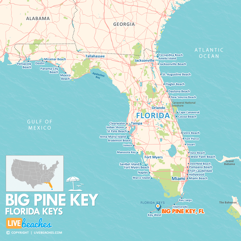
Maps of Popular Beaches in Florida
Explore additional maps of Florida’s top beaches to help you plan your perfect getaway.


