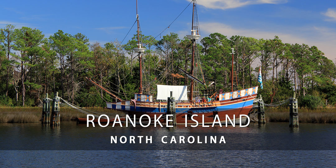
Discover Roanoke Island, NC
Roanoke Island, NC is approximately eight miles long and two miles wide, and packed with adventure and is a delight for modern families. The island consists of two small towns, Manteo and Wanchese, both offering plenty of accommodations ranging from hotels and inns to boutique bed and breakfasts and rental properties.
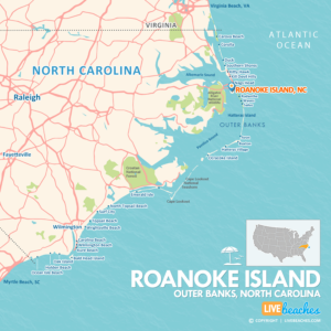
![]() Map of Roanoke Island, North Carolina
Map of Roanoke Island, North Carolina
Roanoke Island sits between the mainland and the barrier islands, near both Nags Head and Kill Devil Hills. The island is home to a number of parks, museums, and other attractions hearkening back to this island’s past and providing education and adventure to visiting families.
Shrouded in mystery and history, Roanoke Island is famous for the disappearance of the Lost Colony of Roanoke, the first English attempt at permanent settlement in the New World.
Roanoke Island is also often referred to as the Lost Colony because the original colonists disappeared in the 1500’s, never to be heard from or seen again. The island is home to a number of parks, museums, and other attractions hearkening back to this island’s past and providing education and adventure to visiting families. Theatergoers may savor the oldest outdoor symphonic drama in the U.S., The Lost Colony, performed at Manteo’s Waterside Theater.
![]()
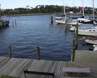
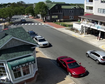
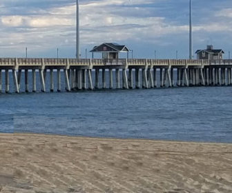
Live Webcams
View live webcams from Roanoke Island, NC and check the current weather, beach activity and enjoy outstanding scenic views and spectacular sunsets. It’s not the same as being here but it’s a great way to daydream from far away!
![]()
Map of Popular Beaches in North Carolina
This map highlights the most popular beaches in North Carolina. Use the map as a guide to find the best beaches in North Carolina and locate coastal towns and points of interest.
![]()
Roanoke Island, NC Average Temperatures
Wondering what the average weather temperatures are in Roanoke Island, North Carolina? View the average daily highs and lows including the average ocean temperature per month.
• Average Low Temperatures per Month
• Average Ocean Temperatures
Planning trip to Roanoke Island? Visitors are encouraged to pick up a free travel guide from the tourism information center. Destination guides include deals on places to stay and things to do. You’ll find budget-friendly discounts and coupons to save money once you get there.
Roanoke Island, North Carolina Average Temperatures
Use this weather chart as a guide to view the average air and ocean temperatures in Roanoke Island, NC.
The average air temperature in the summer varies between 85-90 degrees.
The average ocean temperature in the summer varies between 75-80 degrees.
| Average High | Average Low | Average Ocean Temp | |
|---|---|---|---|
| January | 52 | 38 | 48 |
| February | 54 | 40 | 49 |
| March | 60 | 44 | 52 |
| April | 66 | 52 | 61 |
| May | 74 | 60 | 69 |
| June | 81 | 70 | 74 |
| July | 85 | 74 | 78 |
| August | 85 | 73 | 80 |
| September | 82 | 70 | 77 |
| October | 72 | 60 | 70 |
| November | 64 | 51 | 58 |
| December | 57 | 43 | 55 |
Average high, low and ocean temperatures in Roanoke Island. Sources: Accuweather, Weather.com, NOAA Climate.gov.


