Flagler Beach, FL Map
Map of Flagler Beach and popular nearby beaches in Florida. Use these regional maps as a guide to learn the area and points of interest along the Florida Coast.
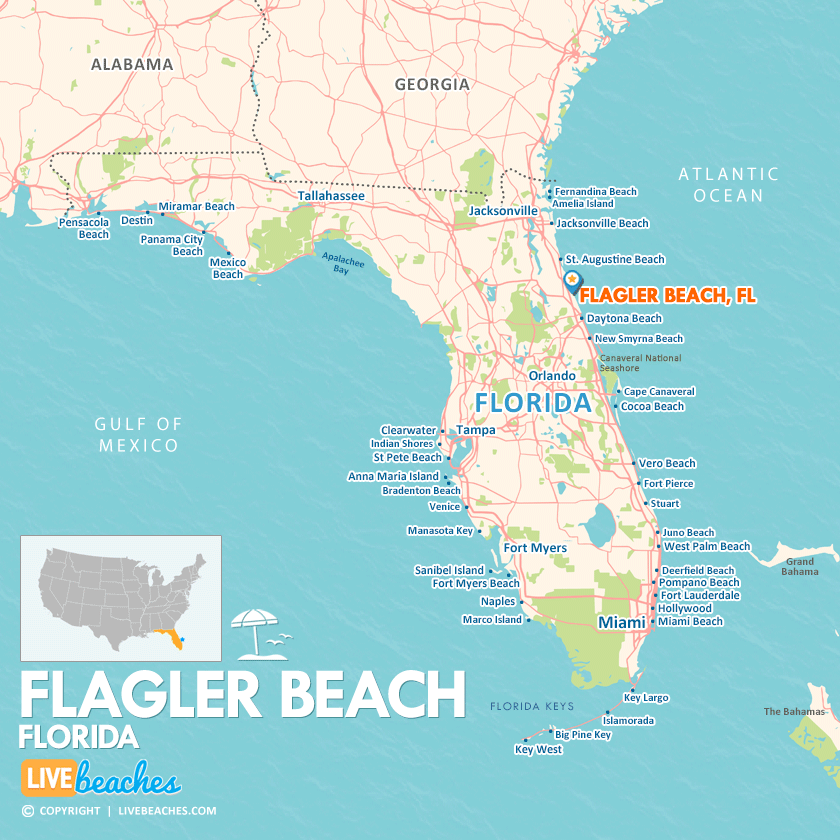
Click Map To Enlarge
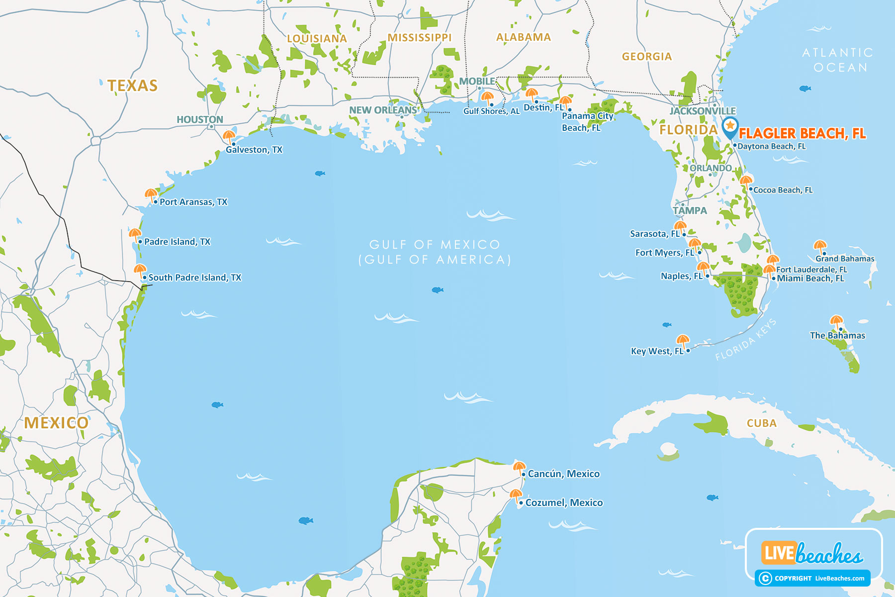
Click Map To Enlarge
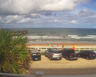
Visit Flagler Beach, Florida
Easily find beachfront hotels in Flagler Beach using our interactive map. Filter by budget, location, and crew size to plan your perfect Florida getaway.
How Big is Flagler Beach?
Flagler Beach is a coastal city in Florida spanning approximately 4 square miles.
Beach Length: 6 miles | Beachfront Width: Ranges from 50-150 feet
![]()
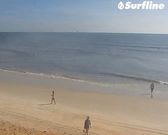
What is the sand like?
The sand at Flagler Beach in Florida is a favorite for scenic walks and beachcombing. Unlike Daytona Beach, public beach driving is not allowed on Flagler Beach. Access is strictly limited to authorized government and emergency vehicles.
Maps of Popular Beaches in Florida
Explore additional maps of Florida’s top beaches to help you plan your perfect getaway.