Cape Canaveral, FL Map
Map of Cape Canaveral and popular nearby beaches in Florida. Use these regional maps as a guide to learn the area and points of interest along the Florida Coast.
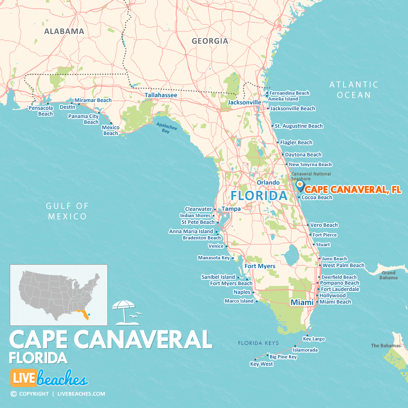
Click Map To Enlarge
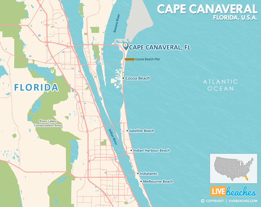
Click Map To Enlarge
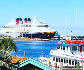
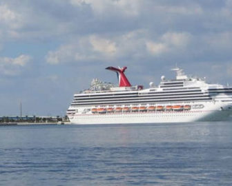
Visit Cape Canaveral, Florida
Easily find beachfront hotels in Cape Canaveral using our interactive map. Filter by budget, location, and crew size to plan your perfect Florida getaway.
How Big is Cape Canaveral?
Cape Canaveral is a coastal city in Florida spanning approximately 2-3 square miles.
Beach Length: 2 miles | Beachfront Width: Ranges from 125-150 feet
![]()
What is the sand like?
The sand in Cape Canaveral, Florida has a coarser, more textured grain size due to the high volume of micro-shell pieces. While the upper dune sand can feel relatively soft, walking down by the water’s edge can give your legs a rigorous workout, as your feet sink a bit deeper into the wet, shell-rich matrix.
Maps of Popular Beaches in Florida
Explore additional maps of Florida’s top beaches to help you plan your perfect getaway.