Islamorada, FL Map
These maps of Islamorada, FL, and nearby beaches are designed to help you navigate Florida’s coastline. Use these detailed maps to discover beachfront resorts and points of interest for your next getaway to the Florida Keys.
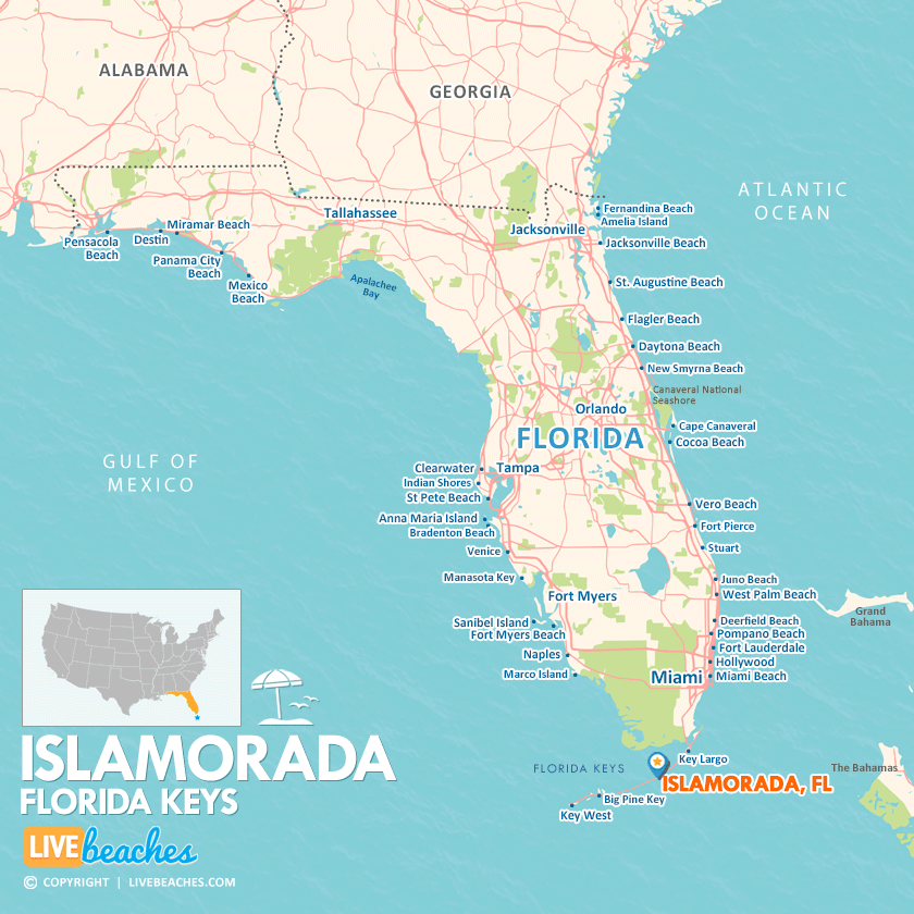
Click Map To Enlarge
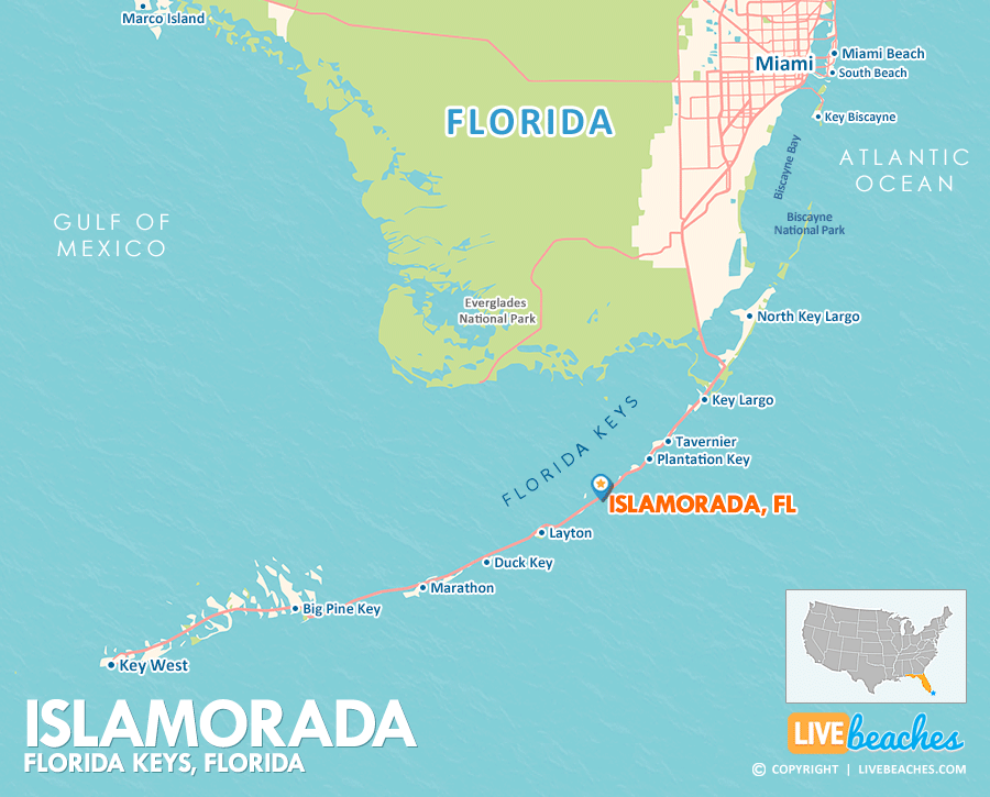
Click Map To Enlarge
Visit Islamorada, Florida
Easily find beachfront hotels in Islamorada using our interactive map. Filter by budget, location, and crew size to plan your perfect Florida getaway.
How Big is Islamorada?
Islamorada, Florida, is an island community in the Florida Keys spanning approximately 7 square miles.
Beach Length: N/A | Beachfront Width: Narrow, 25-50 feet
![]()
What is the sand like?
Islamorada is famous for its stunning turquoise waters, but it lacks extensive stretches of soft, natural sandy beaches. The Florida Keys are formed from ancient coral, which means the natural beaches tend to be narrow, rocky, or consist of crushed coral. Many of the resort beaches you’ll find are small and created with imported sand.
Maps of Popular Beaches in Florida
Explore additional maps of Florida’s top beaches to help you plan your perfect getaway.


