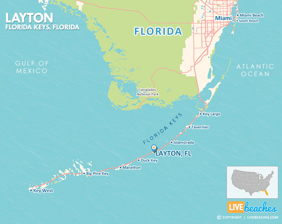
Layton, FL Map
These maps of Layton, FL, and nearby beaches are designed to help you navigate Florida’s coastline. Use these detailed maps to discover beachfront resorts and points of interest for your next getaway to the Florida Keys.

Click Map To Enlarge
Click Map To Enlarge
Visit Layton, Florida
Easily find beachfront hotels in Layton using our interactive map. Filter by budget, location, and crew size to plan your perfect Florida getaway.
How Big is Layton?
Layton, Florida, is an island community in the Florida Keys spanning approximately 0.15 square miles.
Beach Length: 2000 feet | Beachfront Width: Ranges from 50-100 feet
![]()
What is the sand like?
Layton, situated on Long Key in the heart of the Florida Keys, offers a unique coastal experience rather than the typical powdery white-sand beaches. Its shoreline is predominantly characterized by mangroves, shallow natural sea grass beds, and intriguing rocky coral outcrops. For a classic beach day with soft sand underfoot, you’ll need to take a short drive to one of the nearby state parks or public beaches.
Maps of Popular Beaches in Florida
Explore additional maps of Florida’s top beaches to help you plan your perfect getaway.


