Ponte Vedra Beach, FL Map
These maps of Ponte Vedra Beach, FL, and nearby beaches are designed to help you navigate Florida’s coastline. Use these detailed maps to discover beachfront resorts and points of interest for your next getaway to the Sunshine State.
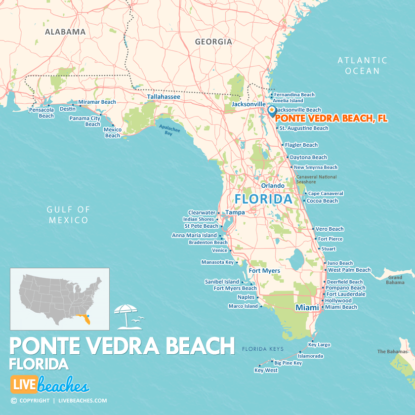
Click Map To Enlarge
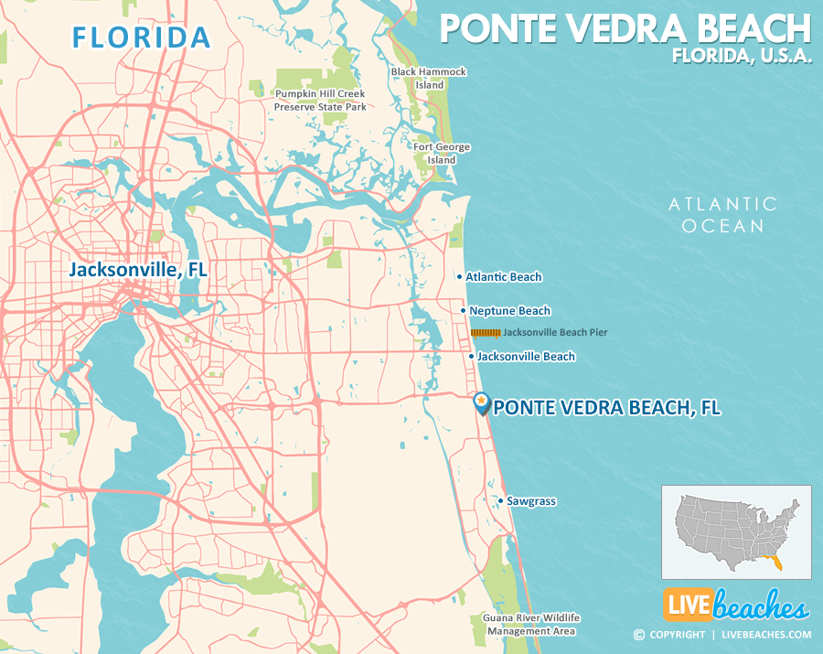
Click Map To Enlarge
Visit Ponte Vedra Beach, Florida
Easily find beachfront hotels in Ponte Vedra Beach using our interactive map. Filter by budget, location, and crew size to plan your perfect Florida getaway.
How Big is Ponte Vedra Beach?
Ponte Vedra Beach is a coastal city in Florida spanning approximately 13 square miles.
Beach Length: 3 miles | Beachfront Width: Ranges from 50-150 feet
![]()
What is the sand like?
The sand at Vero Beach, Florida, is soft and fine, perfect for a comfortable experience underfoot. Unlike the more compact “sidewalk” feel found further up the coast in Daytona, Vero’s sand settles nicely near the water’s edge. This makes it an ideal surface for a leisurely jog, a relaxing walk, or a fun bike ride along the beach.
Maps of Popular Beaches in Florida
Explore additional maps of Florida’s top beaches to help you plan your perfect getaway.


