Bethune Beach, FL Map
These maps of Bethune Beach, FL, and nearby beaches are designed to help you navigate Florida’s coastline. Use these detailed maps to discover beachfront resorts and points of interest for your next getaway to the Sunshine State.
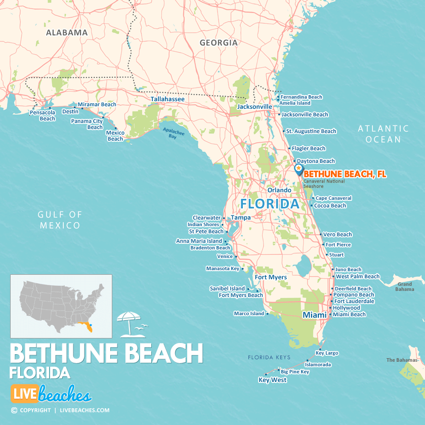
Click Map To Enlarge
Visit Bethune Beach, Florida
Easily find beachfront hotels in Bethune Beach using our interactive map. Filter by budget, location, and crew size to plan your perfect Florida getaway.
How Big is Bethune Beach?
Bethune Beach is a coastal city in Florida spanning approximately 3 square miles.
Beach Length: 2 miles | Beachfront Width: Ranges from 100-150 feet
![]()
What is the sand like?
At Bethune Beach, FL, the sand is noticeably less compacted than the hard-packed driving zones of central New Smyrna Beach. Because it does not experience vehicle traffic, the dry sand remains fluffy, powdery, and comfortable for sunbathers to sit on directly.
Maps of Popular Beaches in Florida
Explore additional maps of Florida’s top beaches to help you plan your perfect getaway.


