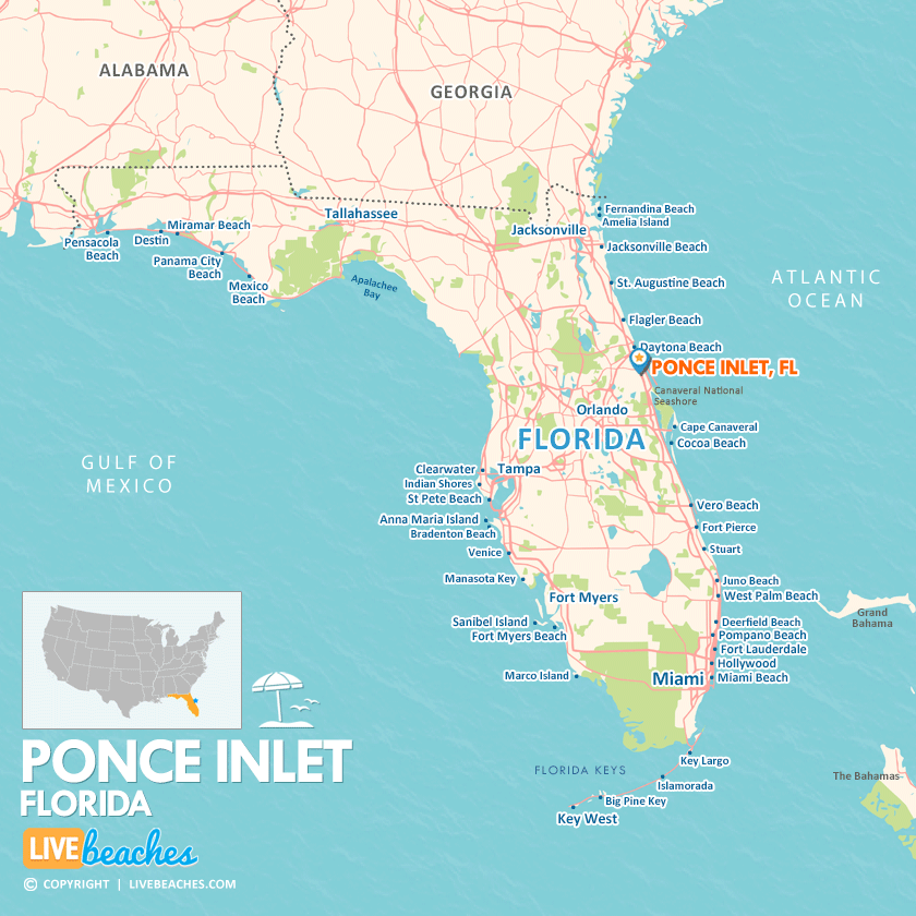
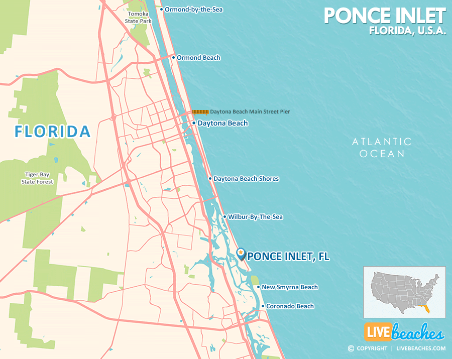
Ponce Inlet, FL Map
These maps of Ponce Inlet, FL, and nearby beaches are designed to help you navigate Florida’s coastline. Use these detailed maps to discover beachfront resorts and points of interest for your next getaway to the Sunshine State.
Click Map To Enlarge
Click Map To Enlarge
Visit Ponce Inlet, Florida
Easily find beachfront hotels in Ponce Inlet using our interactive map. Filter by budget, location, and crew size to plan your perfect Florida getaway.
How Big is Ponce Inlet?
Ponce Inlet is a coastal city in Florida spanning approximately 14 square miles.
Beach Length: 4 miles | Beachfront Width: 100-150 feet.
![]()
What is the sand like?
The sand in Ponce Inlet, Florida, is small, smooth, and tightly interlocked when wet. This creates a surface so solid that vehicles can drive on designated sections, and beachgoers can seamlessly ride bicycles, push strollers, or jog right along the water’s edge.
Maps of Popular Beaches in Florida
Explore additional maps of Florida’s top beaches to help you plan your perfect getaway.


