Neptune Beach, FL Map
These maps of Neptune Beach, FL, and nearby beaches are designed to help you navigate Florida’s coastline. Use these detailed maps to discover beachfront resorts and points of interest for your next getaway to the Sunshine State.
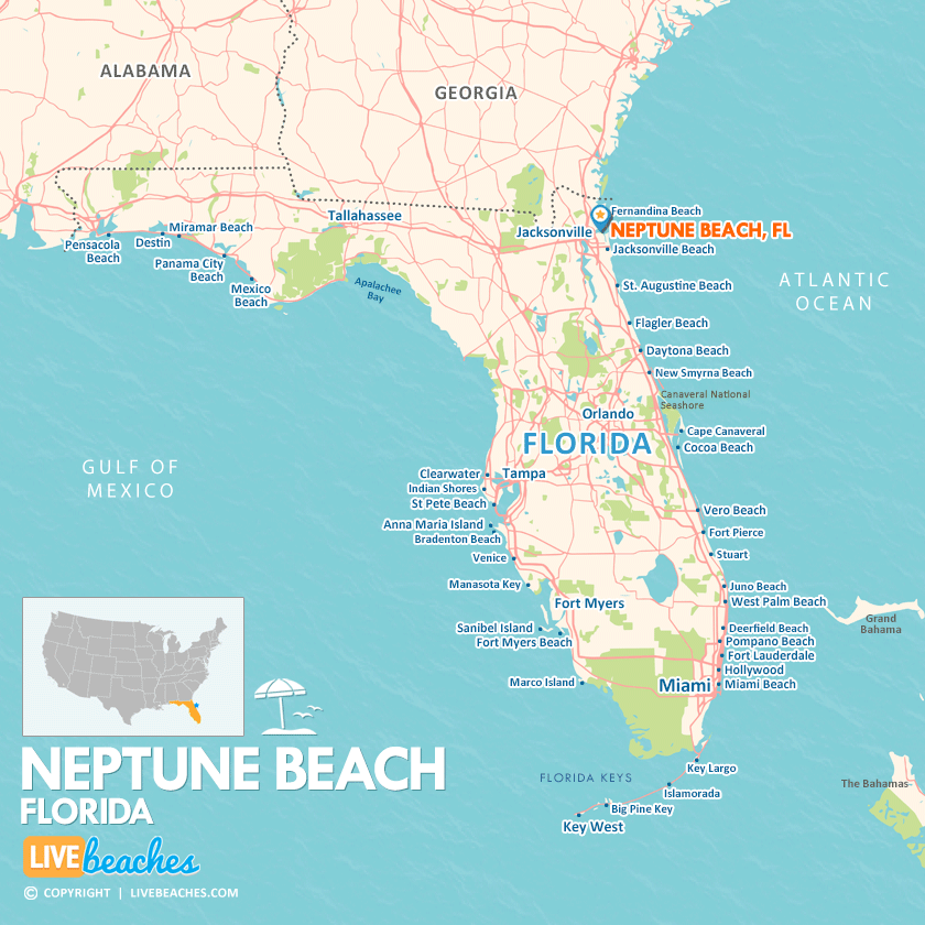
Click Map To Enlarge
Visit Neptune Beach, Florida
Easily find beachfront hotels in Neptune Beach using our interactive map. Filter by budget, location, and crew size to plan your perfect Florida getaway.
How Big is Neptune Beach?
Neptune Beach is a coastal community in Florida spanning approximately 13 square miles.
Beach Length: 2 miles | Beachfront Width: Ranges from 125-150 feet
![]()
What is the sand like?
At Neptune Beach, FL, the sand has a different character from the blinding-white, sugar-like grains of the Gulf Coast. Here, you’ll find a coarser and firmer texture. The wet sand packs down tight and creates a gentle slope, making it ideal for jogging, walking, or cruising on a beach bicycle—especially when the tide is low. As you venture farther from the water, the sand becomes a bit looser, yet it still offers a stable enough surface to comfortably set up your beach chair.
Maps of Popular Beaches in Florida
Explore additional maps of Florida’s top beaches to help you plan your perfect getaway.


