Discover Wrightsville Beach, NC
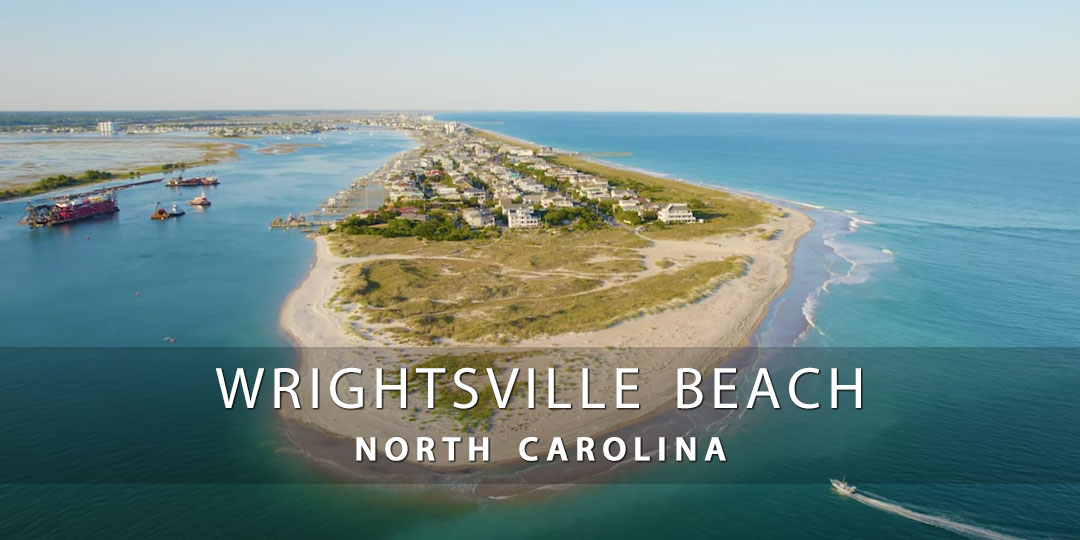
Wrightsville Beach is a charming barrier island close to Wilmington, North Carolina, that is well-known for its pristine sandy beaches, glistening waters, and lively coastal vibe. With a variety of activities and attractions, it’s a well-liked location for both residents and visitors.
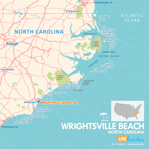
![]() Map of Wrightsville Beach, North Carolina
Map of Wrightsville Beach, North Carolina
Wrightsville Beach’s breathtaking four-mile stretch of Atlantic Ocean coastline is one of its primary attractions. Sunbathing, swimming, surfing, and other water sports are all excellent at the beach. This location frequently has waves that are perfect for surfing, drawing surfers of all abilities.
Wrightsville Beach is known for its beaches, but it also has a quaint downtown with boutique stores, eateries that serve fresh seafood, and cafes where you can have coffee and people-watch the surf. Along with a bustling nightlife, the town offers both locals and tourists bars and live music venues.
Beyond the sand and waves, Wrightsville Beach has a lot to offer outdoor lovers. Along the Intracoastal Waterway, Wrightsville Beach Park offers chances for kayaking, fishing, and picnics. Hiking and bicycling along picturesque paths are additional ways to take in the natural beauty of the area.
Recreational activities and water sports are another feature of Wrightsville Beach. To explore the waterways surrounding the island, you can rent boats, jet skis, stand-up paddleboards, and kayaks. For those hoping to bring in a sizable haul, fishing charters are also offered.
All things considered, Wrightsville Beach is the best location for a beach vacation since it provides the ultimate fusion of outdoor adventure, natural beauty, and coastal charm.
![]()
Live Webcams
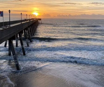
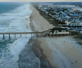
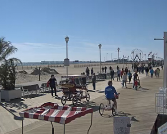
View live webcams from Wrightsville Beach, North Carolina. Check the current weather conditions, beach activity, and enjoy spectacular sunsets and sunsets. It’s not quite the same as being here but it’s a great way to daydream from far away!
![]()
Map of Wrightsville Beach & Nearby Beaches
Use the map as a guide to find the best beaches in North Carolina and locate nearby cities and points of interest.
• Wrightsville Beach, NC Map
• Map of Beaches in North Carolina
![]()
Wrightsville Beach, NC Average Temperatures
Wondering the average monthly temperatures in Wrightsville Beach, NC? Use this chart below to view the average daily high and low air temperatures including the average ocean temperature per month.
• Average High Temperatures per Month
• Average Low Temperatures per Month
• Average Ocean Temperatures
Planning trip to Wrightsville Beach? Visitors are encouraged to pick up a free travel guide from the tourism information center. Local guides include deals on places to stay and things to do. You’ll find budget-friendly discounts and coupons to save money once you get there.
Wrightsville Beach, North Carolina Average Temperatures
Use this weather chart as a guide to view the average air and ocean temperatures in Wrightsville Beach, NC.
The average air temperature in the summer varies between 85-90 degrees.
The average ocean temperature in the summer varies between 75-80 degrees.
| Average High | Average Low | Average Ocean Temp | |
|---|---|---|---|
| January | 54 | 36 | 61 |
| February | 56 | 38 | 58 |
| March | 62 | 43 | 60 |
| April | 70 | 52 | 67 |
| May | 77 | 59 | 73 |
| June | 84 | 69 | 78 |
| July | 86 | 73 | 83 |
| August | 86 | 72 | 83 |
| September | 83 | 68 | 81 |
| October | 74 | 55 | 77 |
| November | 66 | 47 | 69 |
| December | 57 | 40 | 62 |
Average high, low and ocean temperatures in Wrightsville Beach. Sources: Accuweather, Weather.com, NOAA Climate.gov.

