Saint Vincent and the Grenadines
Discover the Caribbean Islands – and all it has to offer
Are you considering a trip to Saint Vincent and the Grenadines in the Caribbean? This page provides a brief overview of Saint Vincent and the Grenadines for first time travelers, including maps of the surrounding islands, live webcams, and average monthly temperatures.
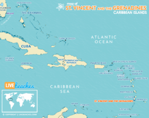
![]() Map of Saint Vincent and the Grenadines, Caribbean Islands
Map of Saint Vincent and the Grenadines, Caribbean Islands
The main island of Saint Vincent and a group of lesser islands collectively referred to as the Grenadines make up the breathtaking Caribbean nation of Saint Vincent and the Grenadines. Discover the immaculate beaches and quiet coves that are dotted throughout the islands. The black sand beaches of Saint Vincent’s east coast, Tobago Cays Marine Park with its white sand beaches and crystal-clear waters, and Princess Margaret Beach and Lower Bay Beach on Bequia are among the highlights. Discover the Grenadines’ azure seas, deserted islands, and colorful coral reefs by sailing or renting a boat. Sail to well-known sailing locations such as Mustique, Canouan, and Union Island; while there, enjoy beach lunches, diving, and snorkeling.
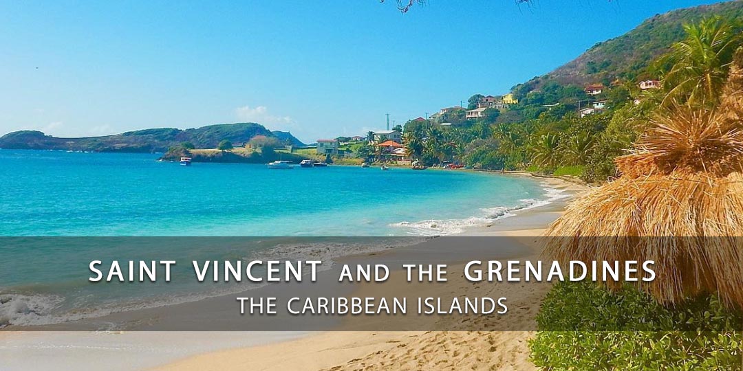
Take a ferry or small plane ride between the Grenadine islands to explore their distinct charms and attractions. Hike to the ancient Fort Duvernette on Young Island, snorkel with sea turtles in Tobago Cays Marine Park, and discover Mystique’s opulent resorts and celebrity sightings. Enjoy folklore, food, dancing, and traditional music at these exciting events. Savor the delectable cuisine of Saint Vincent, which combines Caribbean, European, and African influences. Indulge in regional cuisines such as roasted breadfruit, callaloo soup, coconut turnovers, fried fish with bakes, and rum drinks created using locally distilled spirits. Travelers seeking adventure, leisure, and cultural immersion in the Caribbean can choose from a wide variety of activities and attractions available in Saint Vincent and the Grenadines.
![]()
Live Webcams
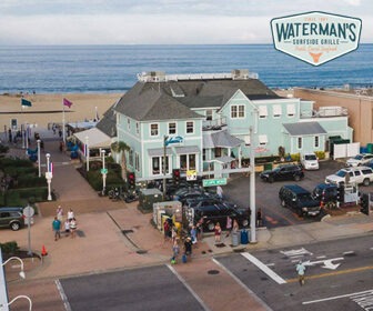
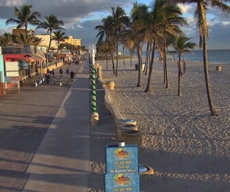
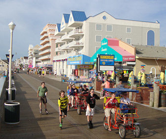
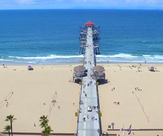
View live webcams in Saint Vincent and the Grenadines and check the current weather, beach activity and enjoy outstanding scenic views and spectacular sunsets. It’s not the same as being here but it’s a great way to daydream from far away!
![]()
Saint Vincent and the Grenadines Average Temperatures
Wondering what the average weather temperatures are in Saint Vincent and the Grenadines? View the average daily highs and lows including the average ocean temperature per month.
Browse our list of 25 Best Webcams in the Caribbean Islands and see what’s happening live at the beach. Check the current weather, surf conditions, and beach activity. Enjoy live streaming views of your favorite beaches in the Caribbean.
Saint Vincent and the Grenadines Average Temperatures
Use this weather chart as a guide to view the average air and ocean temperatures in Saint Vincent and the Grenadines.
The average air temperature in the summer varies between 85-90 degrees. The spring and fall varies between 80-85 degrees. The average air temperature in the winter varies between 75-80 degrees.
Even during the warmest days, you can expect a slight to moderate ocean breeze to temper the heat. The temperature variations in the Caribbean are surprisingly minimal.
Hurricane season starts in June, ends in November, and peaks in September. Keep up with the latest weather forecasts and warnings from local authorities.
| Average High | Average Low | Average Ocean Temp | |
|---|---|---|---|
| January | 84 | 72 | 77 |
| February | 84 | 70 | 76 |
| March | 84 | 70 | 77 |
| April | 85 | 72 | 78 |
| May | 86 | 73 | 80 |
| June | 88 | 75 | 83 |
| July | 89 | 76 | 84 |
| August | 89 | 76 | 86 |
| September | 89 | 75 | 85 |
| October | 88 | 74 | 82 |
| November | 88 | 73 | 80 |
| December | 85 | 72 | 77 |
Average high, low and ocean temperatures in Saint Vincent and the Grenadines. Sources: Accuweather, Weather.com, NOAA Climate.gov.

