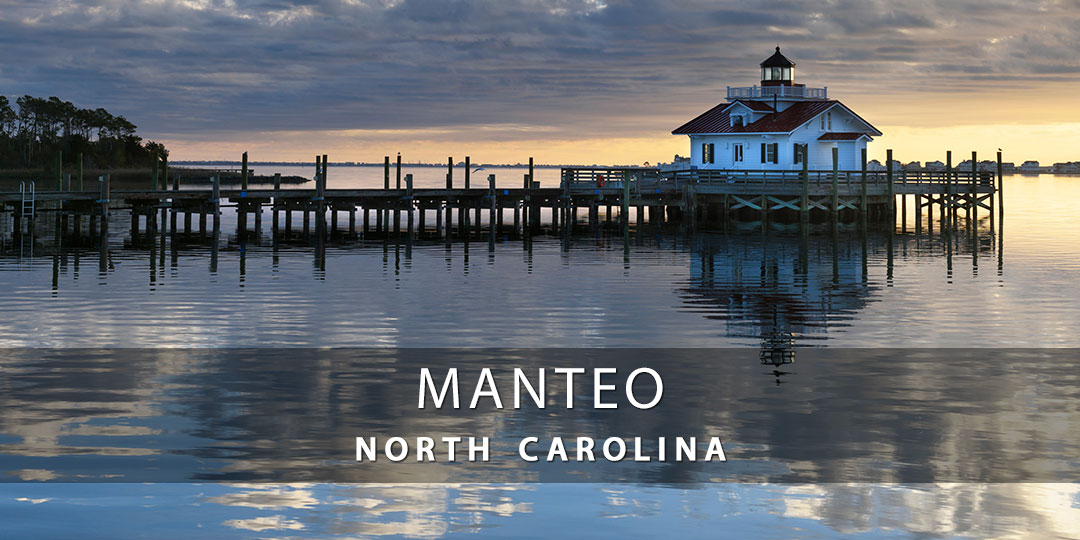
Discover Manteo, NC
Are you visiting Manteo on Roanoke Island, NC for the first time? This guide provides beach maps, average monthly temperatures, and live webcams to view scenic views and current weather.
Manteo is a town located on Roanoke Island, 15 minutes from Nags Head, NC. The island features a number of parks, museums, and other attractions hearkening back to this island’s past and providing education and adventure to visiting families.
![]()
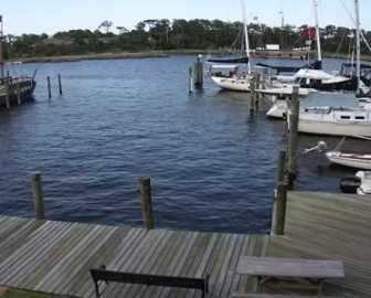
Live Webcams
View live webcams from Manteo, NC and check the current weather, beach activity and enjoy outstanding scenic views and spectacular sunsets. It’s not the same as being here but it’s a great way to daydream from far away!
![]()
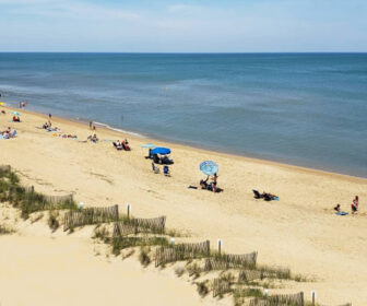
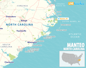
Map of Popular Beaches in North Carolina
This map highlights the most popular beaches in North Carolina. Use the map as a guide to find the best beaches in North Carolina and locate coastal towns and points of interest.
![]()
Manteo, NC Average Temperatures
Wondering what the average weather temperatures are in Manteo, North Carolina? View the average daily highs and lows including the average ocean temperature per month.

Manteo, North Carolina Average Temperatures
Use this weather chart as a guide to view the average air and ocean temperatures in Manteo, NC.
The average air temperature in the summer varies between 80-90 degrees.
The average ocean temperature in the summer varies between 75-80 degrees.
| Average High | Average Low | Average Ocean Temp | |
|---|---|---|---|
| January | 52 | 38 | 48 |
| February | 54 | 40 | 49 |
| March | 60 | 44 | 52 |
| April | 66 | 52 | 61 |
| May | 74 | 60 | 69 |
| June | 81 | 70 | 74 |
| July | 85 | 74 | 78 |
| August | 85 | 73 | 80 |
| September | 82 | 70 | 77 |
| October | 72 | 60 | 70 |
| November | 64 | 51 | 58 |
| December | 57 | 43 | 55 |
Average high, low and ocean temperatures in Manteo. Sources: Accuweather, Weather.com, NOAA Climate.gov.


